When you hear the title Executive Assistant, you might picture calendars, phone calls, and spreadsheets, but at Batture, LLC, the role goes far beyond that. While Ellen’s official title is Executive Assistant, the scope of her work includes office management, human resources, marketing, accounting, and increasingly, community outreach. It’s a unique blend of behind-the-scenes operations and front-facing collaboration with the public: two areas that have more in common than you’d think.
How the Community Outreach Role Came To Be
Before joining Batture, Ellen spent nearly 15 years working in event planning and educational programming, serving as a Fundraising Events Director for organizations like the Audubon Nature Institute and the National WWII Museum. When she transitioned into the AEC (architecture, engineering, and construction) field, it felt natural to take on the community engagement components of our projects.
At Batture, we recognize that successful infrastructure and planning projects must reflect the values and voices of the people they serve. That’s where Ellen comes in, working closely with residents and stakeholders to ensure their perspectives are considered early and often in the planning process.
What Community Outreach Means
In the context of engineering and project planning, community outreach means more than handing out flyers or hosting a meeting. It’s about building trust, encouraging dialogue, and creating inclusive opportunities for people to weigh in on the spaces and services that affect their daily lives. Ellen’s role is to help make that happen by facilitating conversations, listening to feedback, and advocating for community-driven solutions.
“As someone without formal engineering training, I often see things from a different lens than my colleagues. I ask different questions, and I connect with people in different ways. That diversity of thought and experience is key to truly representative planning.”
A Project Close to the Heart
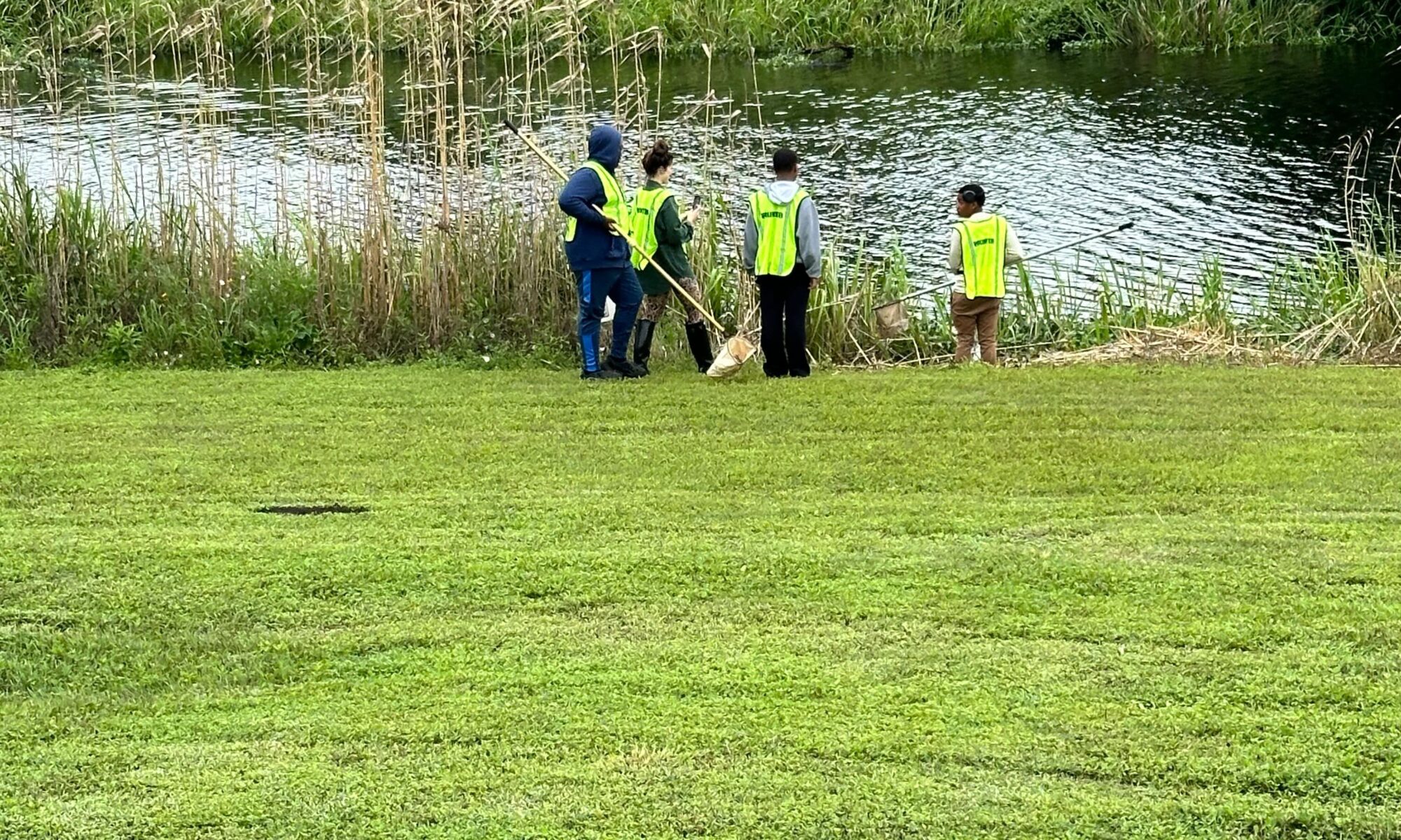
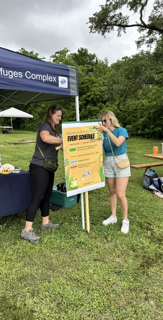
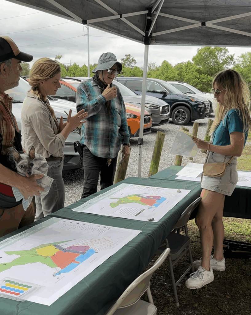
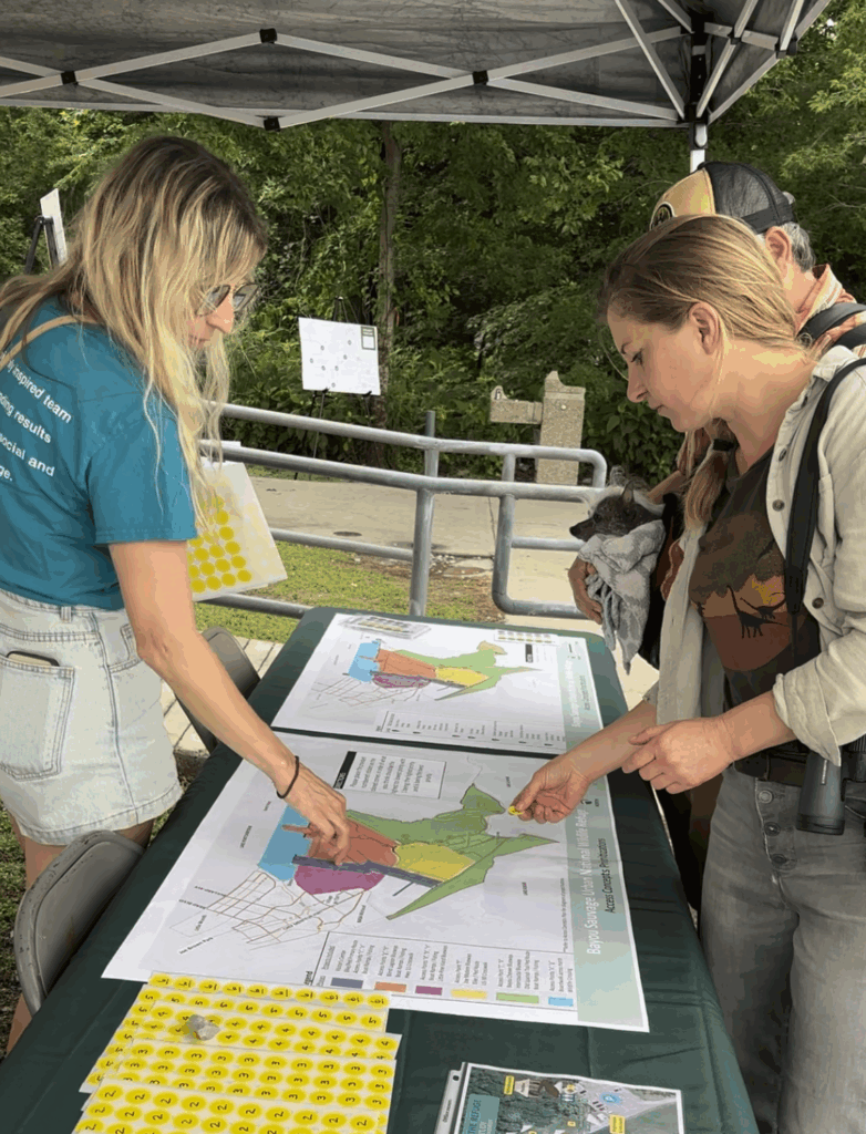
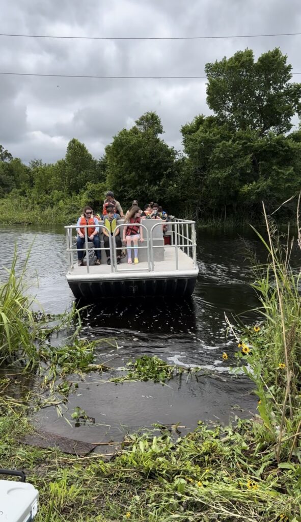
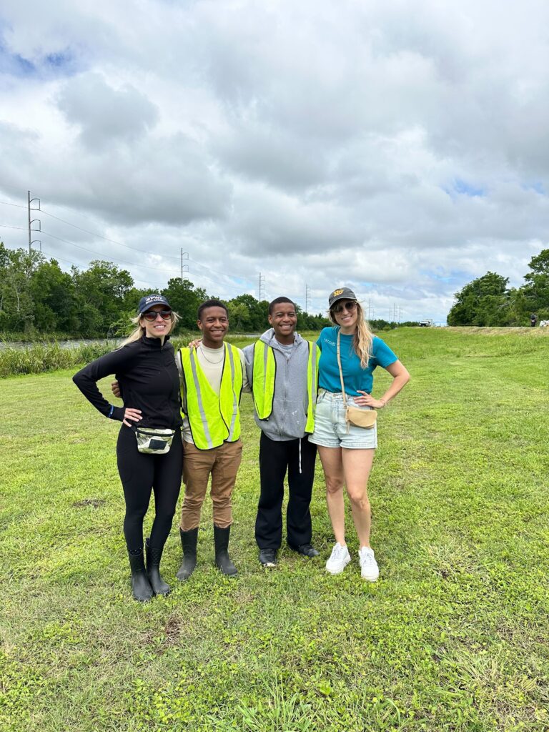
One of the most meaningful projects Ellen has worked on so far is the Bayou Sauvage Urban National Wildlife Refuge Access Study. Batture was recently commissioned by the Regional Planning Commission to develop a transportation plan aimed at improving recreational access to the Refuge, especially for non-motorized users. Ellen partnered with Project Manager Lauren Williams to assist with the community outreach portion of the project.
“This project had personal significance for me. I grew up hunting and fishing in the areas surrounding Bayou Sauvage—it’s a place woven into my own story. So to be part of a team working to preserve and enhance its future was deeply rewarding. Even more powerful was seeing awareness grow in the community. Many lifelong residents of New Orleans East had never heard of the Refuge. Helping to change that was a highlight of the work.”
Our team spoke with birdwatchers, bicyclists, conservationists, and curious first-time visitors, all of whom shared unique perspectives. That kind of engagement fuels better project outcomes and helps protect a space that means so much to so many.
Admin Meets Advocacy
You might wonder how all of this fits with Ellen’s duties as Executive Assistant. In both roles, it comes down to thinking ahead and thinking of others: whether it’s anticipating the needs of a colleague or understanding what matters most to a neighborhood, the little things make a big difference. It’s all about service, support, and connection.
What’s Next?
Looking ahead, we’re excited to support the City of New Orleans on an extension of the Lafitte Greenway, a beloved public space with strong community ties. This next phase will require the same deep listening and collaborative planning that guided our work in Bayou Sauvage.
We know how important the Greenway is to residents, and we’re honored to help bring more people into the conversation as the vision for its future takes shape.
At Batture, community outreach isn’t an afterthought, it’s integral to the way we design and plan. And for Ellen, it’s a privilege to help make sure every voice has a seat at the table.
